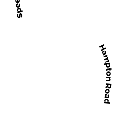
11 HAMPTON RD
Owner Information
ZHANG PEIYUAN
11 HAMPTON RD
NATICK, MA 01760


Property Details
11 HAMPTON RD is classified as a Single Family Residential (Colonial).
The primary structure on this property was built in 1950. There is 1,600ft2 of residential/living space within this property. This property is listed as having 6 rooms.
11 HAMPTON RD is valued at $622,100. The land is valued at $381,600 and the structures are valued at $240,500. There is an additional valuation of $860 on this property.
This property is in Zone RSA. Confirm with local Zoning Board authorities to ensure there are no overlays or other easements on this property.
The most recent deed for 11 HAMPTON RD is recorded at the local registrar in Book L1517, Page 82. 11 HAMPTON RD was last sold on Friday, October 20, 2017 for $570,000.
Assessment data from fiscal year 2022.
Flood Data
According to the FEMA National Flood Hazard Layer, this property does not appear to be in a flood zone. It may also be in an area not yet reviewed. Nonetheless, confirm this information prior to taking any action.
To view the flood hazards around this property, create a FEMA "Firmette" Map of the area around 11 HAMPTON RD.
Broadband Internet Providers
| Provider | Type | Bandwidth (mbps) | |
|---|---|---|---|
| Comcast | Cable | 1000 | 35 |
| VSAT Systems, LLC. | Satellite | 2 | 1 |
| Verizon New England Inc. | Fiber | 940 | 880 |
| Viasat Inc | Satellite | 100 | 3 |
| HughesNet | Satellite | 25 | 3 |
| GCI Communication Corp. | Satellite | 0 | 0 |
| RCN | Cable | 500 | 20 |
Broadband service provider data from December 2020.
Adjacent Properties
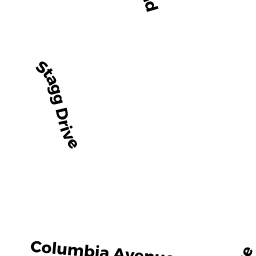
- 5 STAGG DR
Single Family Residential owned by EGNACZYK JEFFREY - 7 STAGG DR
Single Family Residential owned by MARSH JR DONALD W - 3 STAGG DR
Single Family Residential owned by ELIZABETH W GARRY TRUST AGREEMENT OF 201 - 13 HAMPTON RD
Single Family Residential owned by ROETTER LINDSAY - 9 HAMPTON RD
Single Family Residential owned by THULA THULA REALTY TRUST